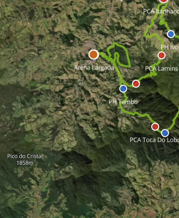
Athletes
The course, on their phone.
They fly the route, read the profile, check each cut-off and open every aid station. Where you allow it, they download the GPX. Fewer questions land in your inbox.
A cinematic 3D race map for your own website. Athletes fly the route, fans explore every climb, and your sponsors get a place on the course everyone is watching.
Free to build. Pay only when you publish.
“Thanks again for your help bringing another level of professionalism to our event.”









The map
A PDF gets glanced at once. A map people can fly over, explore and tap keeps them on your course page, and gives them a reason to come back in race week.
01 · Cinematic 3D flyover
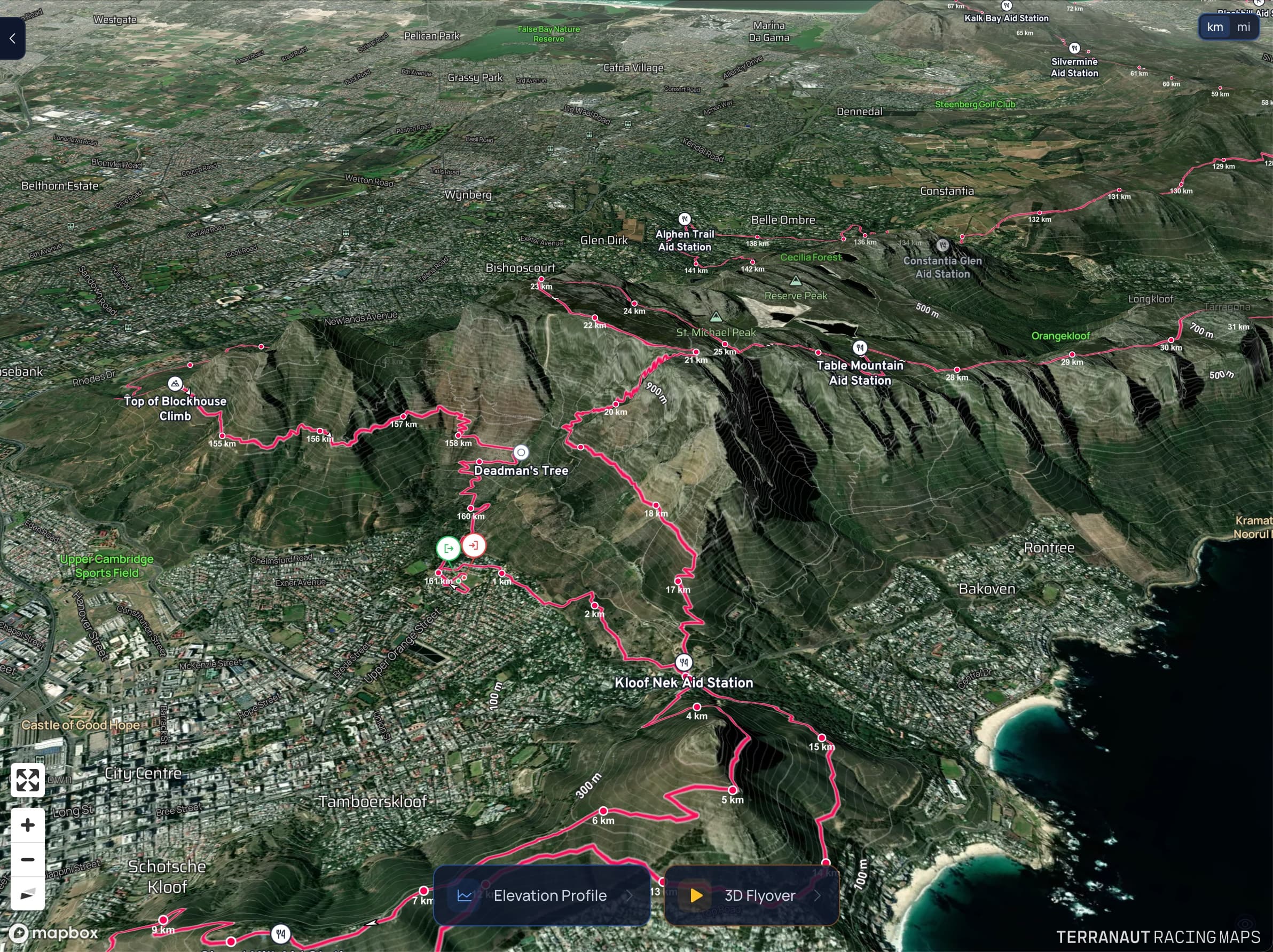
The camera directs itself from the shape of your course. It rides behind the runner on the flats, pulls back over twisting ground, circles the summits and swings round for the finish. Visitors choose normal speed, 2.5× or a high helicopter view, and the elevation profile keeps pace.
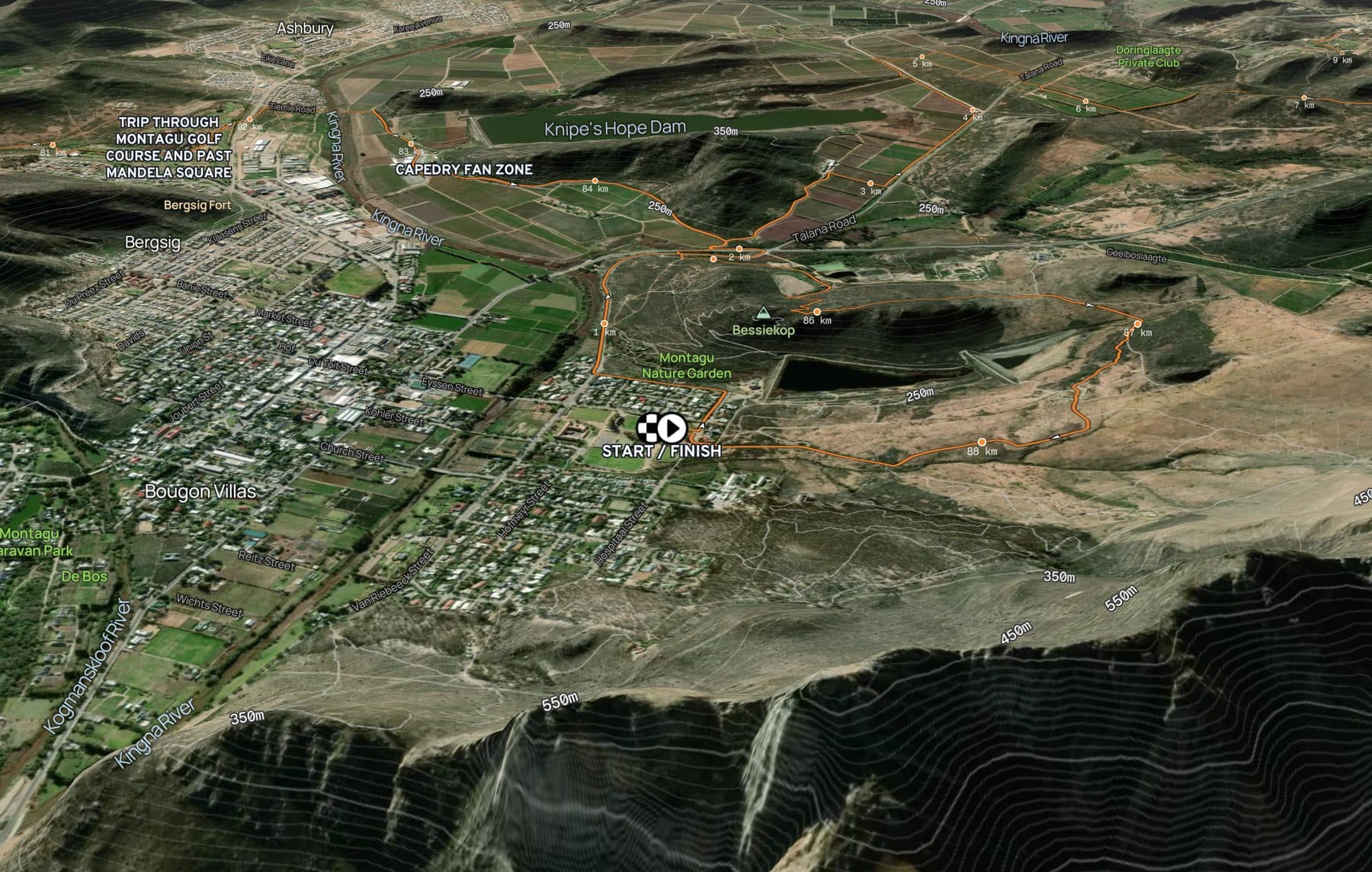
02 · 3D satellite terrain
Satellite imagery over real 3D terrain, with contours, distance markers and direction arrows on the route. Athletes see the valley they drop into and the ridge they climb out of.
03 · Rich waypoints
Water, food, spectator points, parking, shuttles and cut-offs. Tap one and it opens a card with its distance, cut-off time, on-site amenities, notes, a photo or a video, and a location map.
04 · Interactive elevation profile
Run a finger or mouse along the elevation profile and a dot shows that exact spot on the 3D map. Tap a climb and the camera flies straight to it. Aid stations and sponsored stretches sit on the line, so the profile tells the whole race.
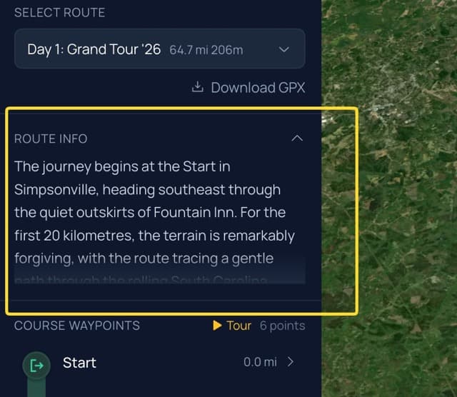
05 · AI route narratives
Generate a route description from the real course: the terrain, the climbs, the places it passes. Edit it in your words, then publish. It sits beside the map and in the route brief on phones.
Pick your highlights and a camera angle for each. Press autoplay on a laptop plugged into a TV and the tour loops through the course on its own.
A full-screen flyover for a hosted moment on stage or at registration. Someone at the laptop switches camera angles as it plays.
A layout of its own on mobile, with Stops, Elevation and Flyover tabs a thumb away.
Full, half and 10K, or every stage of a stage race. Visitors switch routes without leaving the page.
For your sponsors
Athletes study the map before race day. Families follow it in race week. It can play on the big screen at the event village. Put your sponsors inside it, on the ground they paid to be part of.
ULTRA-TRAIL CAPE TOWN 2026 · PT55 · ELEVATION
55.7 KM · 2,483 M
GARMIN · CRAZIEST CLIMB · KM 47.1 TO 47.9
This is the PT55 at Ultra-Trail Cape Town, traced from its live map. The red stretch is Garmin's Craziest Climb. It colours the route on the map and rides on the elevation profile every runner checks before race day.
01 · Sponsored segments
Give a sponsor a stretch of the course, from one kilometre mark to another. The route turns their colour on the map, and their logo rides above that stretch of the elevation profile. Tap the climb on the profile and the camera flies there.
02 · Interactive sponsor markers
Sponsor markers stand on the route itself. Tap one and a full sponsor card opens over the map: their logo and title, a YouTube video that plays right there, a few lines of copy and a button to their site.
03 · Tour stops
Put a sponsor in the guided tour. On autoplay it loops on the race village TVs, and at your route launch you can take the press through it stop by stop. When the camera reaches the sponsor, their card and video sit beside the course.
The water partner stands at the water station. The vehicle partner owns the climb. Sponsors appear where the story is.
When a visitor taps through to a sponsor's website, the visit shows up in the sponsor's own website stats as coming from your race map.
Your Analytics tab shows map views, unique visitors, hours spent on the map, peak days and where visitors came from.
We never put our own advertising on your map. Every brand on it is a partner you chose.
Who it's for
The same map briefs your athletes, guides their supporters, carries your sponsors and fills your screens.
Athletes
They fly the route, read the profile, check each cut-off and open every aid station. Where you allow it, they download the GPX. Fewer questions land in your inbox.
Fans and families
Spectator points, parking and shuttles on the real terrain. Send them the link and they plan race day around the course.
Sponsors
Markers, sponsored segments, video and calls to action on the map itself, seen by everyone who studies the route.
Race village and press
Put the guided tour on autoplay and it loops through your highlights on the race village TVs, sponsors included. At a route launch, take the press through the course stop by stop.
How it works
GPX, KML, GeoJSON or JSON. Distance, ascent and the 3D course come from the file.
Aid stations, cut-offs and spectator points, then sponsor markers, segments and your tour.
Copy one line of code into your course page. The map works on any screen, and every change you make shows up straight away.
A note from Scott
I've worked with race organisers around the world. The course page is one of the most visited pages on a race site, and it usually holds a PDF. Terranaut turns it into something people want to explore, and gives sponsors a reason to be there. It gets built from what organisers ask for. If your race needs something the map doesn't do yet, tell me.
Pricing
One event, or the whole calendar. Every plan includes the flyover, the waypoints and every sponsor placement.
One event
Build the map for free. Pay on the day you publish. As many routes as the event needs.
Two or more events
For organisers running a series or a calendar of races. Each event gets its own workspace, with your branding across all of them. We price the calendar, not each event.
You also get bigger view allowances, map build consultations, hands-on support, and your own Mapbox style and key.